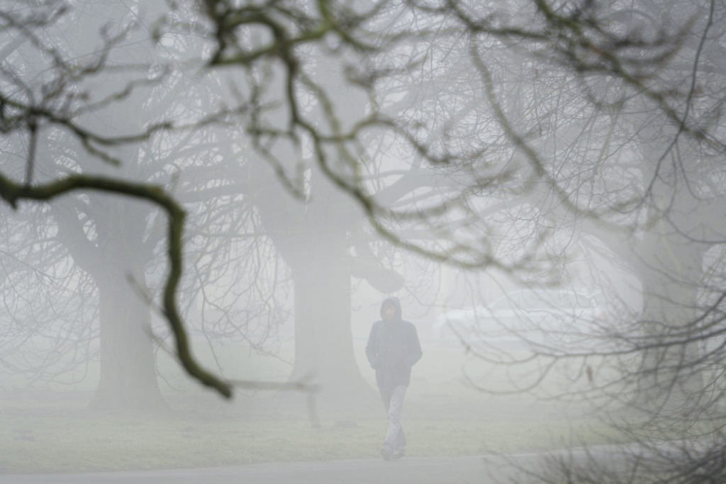
Fog, low stratus, precipitation—but also sunshine: the weather will be changeable in the coming days. The main driver is a shift in winds to the west, according to Geosphere Austria on Thursday.
Friday: Fog in the east, sun in the mountains, rain in the west
Friday begins with fog and low stratus across low-lying areas in the north, east, and southeast. These clouds are persistent and largely fail to clear. Sunshine appears mainly at mid elevations and in the mountains, with a few high clouds. In the west, dense cloud cover dominates at least until the afternoon, bringing mostly rain with a snow line around 4,300 feet (1,300 meters). Winds are light to moderate from south to west. Morning temperatures range from 27°F to 37°F (–3°C to +3°C). Daytime highs reach 36°F to 50°F (2°C to 10°C), with the highest values at mid elevations and in the far west and southeast.
Saturday: Dense clouds, chain requirements, and some sun in the west
Saturday starts widely with dense clouds and low stratus. Along the northern Alps and the northern Alpine foothills, intermittent rain showers are expected. In the west, sunshine becomes increasingly common during the morning. In the eastern half of the country, cloud cover generally persists until evening. The snow line ranges between 3,300 and 4,600 feet (1,000 to 1,400 meters). Winds are mostly light, locally moderate from the west in the east. Morning temperatures range from 25°F to 39°F (–4°C to +4°C). Highs rise to 37°F to 52°F (3°C to 11°C), warmest in the sunny west and far southeast.
Sunday: Calmer weather with sun and isolated rain
On Sunday, moderate westerly winds bring many dense clouds from Upper Austria eastward, producing local rain. The snow line ranges from 2,300 to 3,600 feet (700 to 1,100 meters). From the afternoon onward, clouds gradually break from the west. Western and southern regions are often sunny, though persistent fog and low stratus may linger in valleys and basins well into the day. Lows range from 21°F to 39°F (–6°C to +4°C), highs from 39°F to 50°F (4°C to 10°C). The warmest conditions with sunshine are expected in Tyrol and Vorarlberg.
Monday: Rain in southern Styria, otherwise fog and clouds
South of the main Alpine ridge, dense clouds pile up on Monday, while persistent fog or low stratus affects lowlands farther north and east. Local rain is also possible, especially in southern Styria and parts of Burgenland, with a snow line around 3,300 feet (1,000 meters). Sunny breaks occur mainly along the northern Alps, though fog and low stratus may linger in valleys and basins. Winds are light to moderate, mostly from east to south. Morning temperatures range from 18°F to 37°F (–8°C to +3°C). Daytime highs reach 36°F to 50°F (2°C to 10°C), warmest in the sunny west.
Tuesday: Warm front brings rain to the west, foehn in the east
Tuesday begins with fog or low stratus in lowlands and sunshine at higher elevations and outside typical fog zones. From the west, clouds associated with a warm front gradually move in during the day, bringing rain by evening from Vorarlberg to Salzburg and East Tyrol. The snow line ranges from 3,300 to 5,200 feet (1,000 to 1,600 meters). These clouds also gradually clear the moist low-level layer in the east and southeast during the afternoon. Winds from east to south become moderate to brisk, especially in foehn valleys along the northern Alps and in eastern lowlands. Morning temperatures range from 18°F to 36°F (–8°C to +2°C). Highs range from 37°F to 50°F (3°C to 10°C), depending on fog, sunshine, and foehn influence.

